Daily Update 2.8
Week 3: Module 2: Date 2/22/13
We learned yesterday that the most powerful tool the early navigators had was that of past knowledge, this often came in the form of charts and maps. The first world atlas was created in the 2nd century CE by the Alexandrian astronomer Ptolemy. His atlas was comprised of 27 maps with lines of latitude and longitude on them. Although the farther you got from the Mediterranean the less accurate these maps were.
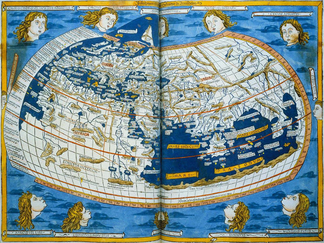
The Greeks developed their own navigation manuals that were comprised of information collected from sailors from all over the known world. By the 13th century the maps that were available were quite accurate and had scales and bearings.
The compass is one of the most revolutionary inventions in relation to navigation. The compass was invented by the Chinese. When it was invented is one of those historical mysteries. There are mentions of a compass type device as far back as the 4th century BCE, although it is not till sometime between the 9th and 11th century CE that the compass is used on a more widespread basis.
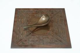
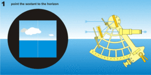
There were a number of inventions throughout the 1400-1700’s, which helped early navigators, some of these inventions included the cross-staff, the back-staff, the kamal and the sextant. All of these devices were designed to determine latitude. The sextant was the most advanced of these and is still in use today.
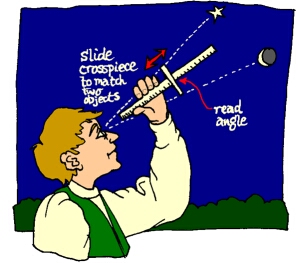
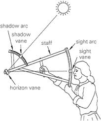
The sextant works by measuring the angle between two visible objects e.g the horizon and a star. It was able to do this with much greater accuracy than the earlier tools. Watch the animation on how a sextant works.
A sextant can also be used to determine longitude but requires a number of calculations and charts and wasn’t a practical way of determining longitude. A practical way to determine longitude didn’t happen until 1759 when John Harrison invented the marine chronometer, essentially a very accurate clock. It took him over thirty years and four attempts to solve this problem.
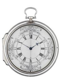
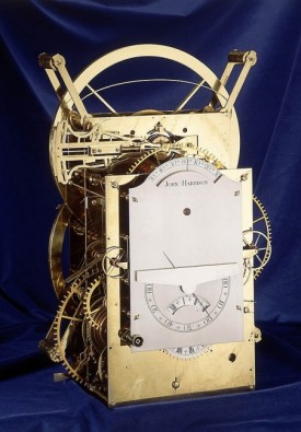
At this point in history clocks were delicate things that were sensitive to humidity and pressure changes and none of them were reliable at sea. As we learned in the daily update from 2/1/13 longitude and time are connected. Based on celestial observations sailors can determine the time in the location they are, so if they could develop a clock that could reliably tell the time in London for the whole journey they could determine how many hours and degrees longitude they were away from London.
Who knew that a reliable watch could have made that much of an impact?
Sources and links for more information:
https://en.wikipedia.org/wiki/John_Harrison
http://www.bbc.co.uk/history/british/empire_seapower/launch_ani_navigation.shtml
http://nabataea.net/sailing.html
http://www.pbs.org/wgbh/nova/ancient/secrets-of-ancient-navigators.html